A quick Google Maps satellite image reveals the inefficiencies of one of the area’s busiest intersections.
Here’s the corner of Division Street and 14th Street as you enter into Traverse City:

|
One by one, cars quickly line up to wait for their light to turn green.
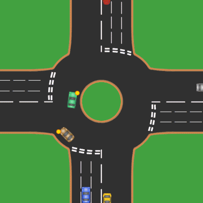
Traditional traffic signals tend to be inefficient since motorist must wait for the cars traveling in the opposite direction to cross the intersection. This causes backups and traffic delays. (Think about the last time you sat waiting at a red light while no cars were crossing using the green light.)
Here’s a view of the same street just north of the intersection showing very little traffic:

|
Traffic that flows smoothly, even at a lower spead, spreads out along the road, and usually reduces travel time for motorists.
Small improvements, like reconfiguring traffic lights or redesigning intersections so that motorists stop less, would reduce backups on our busiest roads like Division and S. Airport. Those small investments would increase the flow of traffic for those traveling through town, and, at the same time, become safer for pedestrians and cyclists.
State transportation officials have taken the lead. When Traverse City voters last year opted to make land along Division Street available for planning, the Michigan Department of Transportation (MDOT) made Division Street a high priority. As the department seeks road funding over the next few years, they hope to work closely with the city and neighbors to develop a plan for the roads that serves all needs.
James Bruckbauer is the Michigan Land Use Institute’s transportation policy specialist. Follow him on Twitter at @jimbruckb. Reach him at james@mlui.org.
 James Bruckbauer is the Michigan Land Use Institute’s transportation policy specialist. Follow him on Twitter at

